My Cousin had an issue loading a satellite image of the Nevada desert. He showed me a glitchy version of an image that looked like the same image wallpapered across the screen. He said the land looked painted; that he wondered if what he’d seen was being censored; and he showed me a dark screen grab of what looked like an open pit mine.
My brain went down several different paths.
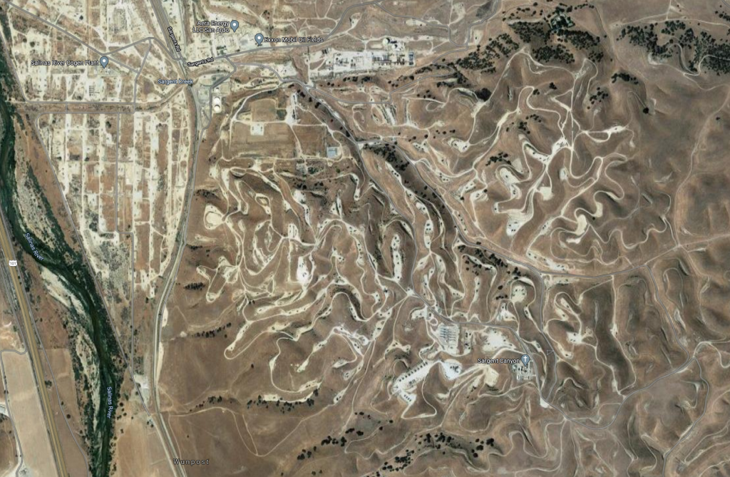
Satellite images of resource extraction: I wanted to know if he had also been looking at mining or drilling sites more generally, because many of them don’t make sense to me. The day before, I’d been looking at oil wells I used to pass on 101 north along the Salinas river. I’ll never really understand why the wells are where they are (it looks like many sites are high up, though I was led to believe the oil they are looking for is quite deep, so this would be making their drilling job harder, I would think.) That image happened to be on my desktop:

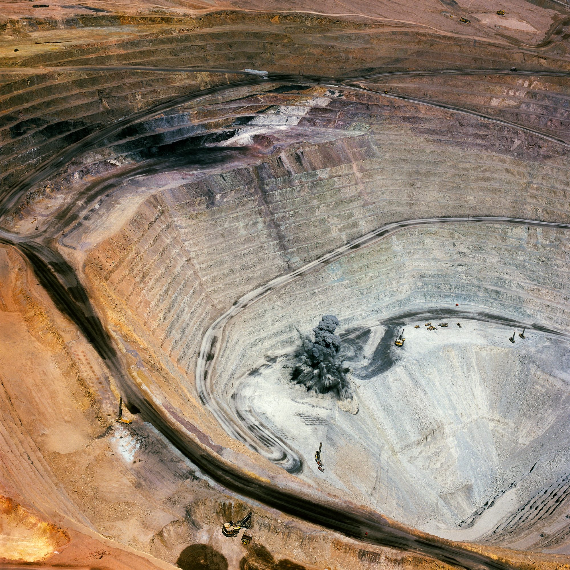
Art depicting open pit mines: there are some interesting (and extremely unfortunate) open pit mines around the world with remarkably colorful soil. My Cousin mentioned that he might have been looking at images of the Goldstrike Mine. So I went looking for images of Goldstrike, and wound up asking him if he had been looking at this geometry-themed site and open pit mine ART (you read that right) by Antonio Gutierrez:
Art depicting Nevada bombing ranges: my mind turned to an art book about the government’s destruction of wide swathes of Nevada, including the contamination of private land, and the documentary photography project on this theme by Richard Misrach (fraenkelgallery.com). Yes, of course I have this book.

Art depicting toxic Landscapes (including mines): Another photographer based in my area, David Maisel (davidmaisel.com), has a body of work and a book called The Lake Project, which I never managed to obtain. It is one of several by him on similar themes, and includes extraordinarily vivid images of toxic waste that are beautiful and abstract. It’s painful to know what they depict, however.
His website is lovely:

There is a great article with many illustrations from several of Maisel’s toxic landscape projects in the Design Observer (designobserver.com), so I shared this article with my Cousin, since it was also on this theme.

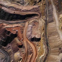
Eventually, my Cousin was able to find the satellite image he wanted, and showed me the painted-looking ridge that had captured his attention, which is visible if you zoom into the center of this Google map:
He is an EXCELLENT Cousin, so he both shared the ridge when he finally relocated it AND hadn’t minded the speculative, mine-and-art-themed detour I took him on. It’s good to know that my Cousin ALSO wanders through the deserts of the American West virtually.
Now I’ll wait until he starts also wandering the most remote islands of the Pacific Ocean, and take him on another tangential virtual adventure. 😀
